
Home › Articles › Purvanchal Expressway Route, Map, Toll & Real Estate Impact
Purvanchal Expressway Route, Map, Toll & Real Estate Impact
By PropertyGeld Editorial Team
Published on PropertyGeld:
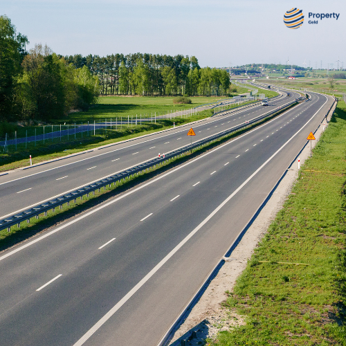
The Purvanchal Expressway is a major infrastructure development in Uttar Pradesh, spanning approximately 341 kilometers. This 6-lane (expandable to 8) expressway connects Lucknow to Ghazipur, significantly reducing travel time across nine districts, including Ayodhya, Azamgarh, and Amethi.
Key Highlights of Purvanchal Expressway
- Length: 340.8 km
- Total Project Cost: ₹22,494 crore
- Developer: Uttar Pradesh Expressways Industrial Development Authority (UPEIDA)
- Start Point: Chand Saray village, Lucknow
- End Point: Haydaria village, NH-31, Ghazipur
- Date of Inauguration: November 2021
- Speed Limit: Designed for 120 km/hr; regulated at 100 km/hr for light vehicles
- Airstrip: 3.2 km long airstrip near Kurebhar, Sultanpur, for emergency landings
- Fuel Stations: 8
- CNG Stations: 4
- Lighting: Solar-powered lighting at interchanges and bridges
Districts Connected
The expressway passes through:
- Lucknow
- Barabanki
- Amethi
- Sultanpur
- Ayodhya
- Ambedkar Nagar
- Azamgarh
- Mau
- Ghazipur
Connectivity Advantages
- Facilitates faster and smoother travel within eastern Uttar Pradesh
- Enhances connectivity to Delhi via other expressways
- A proposed connection to Bihar further increases regional accessibility
- Boosts regional development by encouraging industrial and economic growth in nearby towns
Entry/Exit Points
Well-planned entry and exit ramps across districts make the route accessible, with designated toll plazas for smooth transit.
Real Estate and Economic Impact
The expressway has significantly influenced real estate growth along its corridor, especially in Lucknow, Ayodhya, and Azamgarh. Investors are showing keen interest in plots and residential properties near interchanges due to:
- Improved transport access
- Industrial corridor planning
- Employment generation
Additional Features
- Interchanges, bridges, flyovers, and underpasses ensure hassle-free commuting.
- Equipped with all safety measures and modern road infrastructure.
- Constructed with future expansion in mind to handle growing traffic volumes.
Related articles
- Purvanchal Expressway Route, Map, Toll & Real Estate Impact
- Kundli–Manesar–Palwal (KMP) Expressway: Route, Features and Impact on NCR Development
- National Highway 152D (Trans–Haryana Expressway): Route, Current Status & Real Estate Impact
- Faridabad–Jewar Expressway: Project Overview, Route Details and Development Impact
- Ganga Expressway Route, Map, Features & Real Estate Impact
- Dwarka Expressway Completion & Impact on NCR Real Estate