
Home › Articles › Haryana Government Notifies Comprehensive Development Plan for Faridabad
Haryana Government Notifies Comprehensive Development Plan for Faridabad
By PropertyGeld Editorial Team
Published on PropertyGeld:
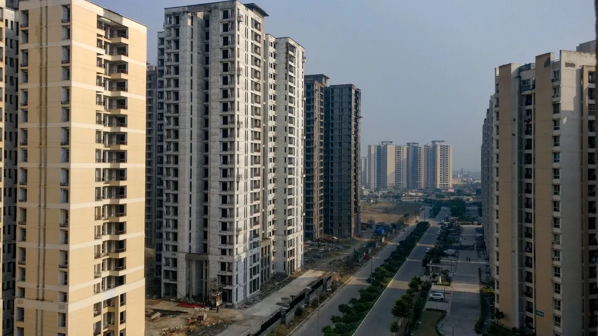
The Haryana government has officially notified the Development Plan for Faridabad, aiming to accommodate a projected population of 39.55 lakh residents by 2031. The plan is based on an average urban density of 115 persons per hectare, covering a total urbanisable area of 34,368 hectares, according to an official announcement issued on March 18, 2018.
The proposed development spans from the Delhi border in the north, the Aravalli foothills in the west, areas beyond the Gurugram–Agra Canal in the east, and up to Jharsently village in the south. Since expansion towards the northern side is restricted due to the Haryana–Delhi boundary, the plan focuses on growth towards the east of the Agra Canal, as well as the southern and south-western regions of the city.
To support residential growth, around 14,558 hectares have been earmarked for housing development, calculated at an average residential density of 271 persons per hectare. Each residential sector will be developed as per prescribed sector density norms, allowing a variation of up to 20 percent, along with compliance under existing policies such as Affordable Group Housing, Transit-Oriented Development, and the New Integrated Licensing Policy. Additionally, 20 percent group housing will be mandatory within residential sectors.
Three specific sectors—119, 143, and 146—located adjacent to proposed industrial zones, have been designated exclusively for group housing projects with a significantly higher density of 600 persons per hectare. To further address housing needs for low- and middle-income groups, eight high-density pockets, each measuring 25 hectares, have been reserved across sectors 99, 112, 119, 122, 139, 143, 146, and 156, allowing densities of up to 1,125 persons per hectare and encouraging the construction of smaller residential units.
The plan also allocates 2,078 hectares for commercial activities and 6,179 hectares for industrial development. The existing gas-based thermal power plant has been incorporated as a special-use zone within the plan.
To improve traffic movement across the city, a structured circulation system has been proposed. Delhi–Mathura Road (NH-44) will continue to function as the main inter-state traffic corridor. To ease congestion, a 60-metre-wide bypass road, constructed by the Haryana Urban Development Authority, has already been developed under the earlier Development Plan 2011.
Further strengthening regional connectivity, a 100-metre-wide Eastern Peripheral Expressway has been proposed, accompanied by a 100-metre-wide green belt on both sides of the city. The development plan also includes the extension of Metro Rail services up to Ballabgarh, which is being implemented by the Delhi Metro Rail Corporation.
Related articles
- Haryana Government Notifies Comprehensive Development Plan for Faridabad
- Haryana Government Plans to Establish Development Authority in Faridabad
- Haryana Government to Establish Faridabad Development Authority to Boost Infrastructure
- Draft Development Plan for Faridabad Gets Final Approval
- Faridabad Metropolitan Development Authority to be formed to accelerate urban growth: Haryana CM
- Faridabad Metropolitan Development Authority to Be Formed: Haryana CM