
Home › Articles › NH44: Route, Length, Cities and Key Details of India’s Longest National Highway
NH44: Route, Length, Cities and Key Details of India’s Longest National Highway
By PropertyGeld Editorial Team
Published on PropertyGeld:
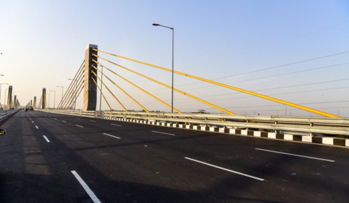
India has one of the largest road networks in the world, with national highways forming a small but extremely important portion of this infrastructure. Among them, National Highway 44 (NH44) holds the distinction of being the longest highway in India.
This major highway stretches from Srinagar in the north to Kanyakumari in the south, connecting multiple states and major cities across the country. Earlier known as NH7, the highway covers a distance of approximately 4,112 kilometres, making it one of the longest road corridors globally.
Overview of NH44
| Detail | Information |
|---|---|
| Highway Name | Srinagar–Kanyakumari Highway |
| National Highway | NH44 |
| Total Length | About 4,112 km |
| Starting Point | Srinagar |
| Ending Point | Kanyakumari |
| Managed by | National Highways Authority of India |
The highway forms a crucial part of India’s north–south transportation corridor and plays a vital role in improving connectivity between different regions of the country.
Construction and Development
NH44 was developed as part of the National Highways Development Project, which aimed to strengthen long-distance connectivity across India. The highway is maintained by the National Highways Authority of India (NHAI) along with the Central Public Works Department.
The route was created by combining seven earlier national highways, which were later reorganised into a single corridor under NH44.
Major Sections of NH44
The highway is broadly divided into three main segments:
-
Northern Corridor: Srinagar to Delhi
-
Central Corridor: Delhi to Hyderabad
-
Southern Corridor: Hyderabad to Kanyakumari
These sections together connect northern Himalayan regions with the southern tip of the Indian peninsula.
Cities Along NH44
The highway passes through several important cities including:
-
Srinagar
-
Pathankot
-
Jalandhar
-
Ludhiana
-
Ambala
-
Kurukshetra
-
Panipat
-
Delhi
-
Agra
-
Jhansi
-
Gwalior
-
Nagpur
-
Hyderabad
-
Kurnool
-
Bengaluru
-
Salem
-
Madurai
-
Kanyakumari
These cities represent key industrial, tourism and commercial hubs across the country.
States Connected by NH44
The highway connects 11 Indian states, covering a large part of the country from north to south.
| State | Approx. Length Covered |
|---|---|
| Jammu & Kashmir | 304 km |
| Himachal Pradesh | 11 km |
| Punjab | 279 km |
| Haryana | 257 km |
| Uttar Pradesh | 287 km |
| Madhya Pradesh | 547 km |
| Maharashtra | 260 km |
| Telangana | 533 km |
| Andhra Pradesh | 260 km |
| Karnataka | 135 km |
| Tamil Nadu | 630 km |
Important Infrastructure Along the Highway
One of the major infrastructure additions on the route is the Chenani–Nashri Tunnel, inaugurated in 2017 by Narendra Modi. The tunnel improved connectivity in the mountainous regions of Jammu and Kashmir and reduced travel time on the highway.
Another notable section in the north is the T5 tunnel, which helps vehicles avoid landslide-prone areas in the Himalayan region.
Safety and Challenging Stretches
While NH44 is an important transportation corridor, some stretches require extra caution. For example, certain sections in Tamil Nadu, particularly between Salem and Thoppur, have sharp turns that can be accident-prone.
Drivers travelling long distances on this route are advised to maintain speed limits and follow lane discipline.
Speed Limits on NH44
According to highway traffic regulations:
-
Cars and light vehicles: up to 100 km/h
-
Expressways connected to NH44: up to 120 km/h
-
Two-wheelers: around 80 km/h
-
Heavy vehicles such as trucks: around 100 km/h
Following these limits helps ensure safe travel across the long highway corridor.
Connection with Bengaluru–Vijayawada Expressway
NH44 also serves as a starting point for the Bengaluru–Vijayawada Expressway, which is currently under development. The expressway begins near Kodikonda in Andhra Pradesh, linking NH44 with other major national highways and improving regional connectivity.
Emergency Helpline for Highway Users
To assist travellers in emergencies, a 24×7 toll-free helpline (1033) is available for those travelling on national highways managed by NHAI. The service provides support such as ambulance services, patrol vehicles and roadside assistance.
Impact on Regional Development
NH44 has significantly improved transportation between northern and southern India. By linking several industrial cities, tourism hubs and agricultural regions, the highway has boosted trade, logistics and economic growth.
Improved connectivity along the route has also encouraged development in nearby towns and cities, contributing to infrastructure expansion and urban growth.
Related articles
- NH44: Route, Length, Cities and Key Details of India’s Longest National Highway
- NH44: Complete Route Details of India’s Longest Highway from Srinagar to Kanyakumari
- National Highway 152D (Trans–Haryana Expressway): Route, Current Status & Real Estate Impact
- NH-48 Route: Map, Cities, States & Key Details
- Khan Market Metro Station: Route, Timings, Entry Gates & Key Details
- Sarai Metro Station, Delhi: Location, Route, Connectivity & Key Details