
Home › Articles › NH44: Complete Route Details of India’s Longest Highway from Srinagar to Kanyakumari
NH44: Complete Route Details of India’s Longest Highway from Srinagar to Kanyakumari
By PropertyGeld Editorial Team
Published on PropertyGeld:
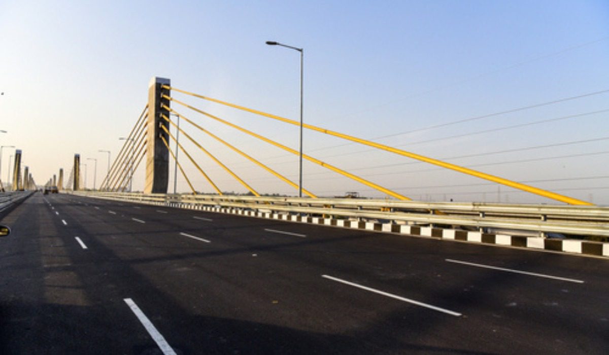
India has one of the world’s most extensive road networks, stretching over 1.32 lakh kilometres of national highways. Among these, National Highway 44 (NH44) holds a special distinction—it is the longest highway in India, connecting the northern city of Srinagar in Jammu & Kashmir to Kanyakumari at the southern tip of Tamil Nadu.
Earlier known as NH7 (and formed by merging several older highways), NH44 spans approximately 4,112 km, making it the 22nd longest highway globally. The highway forms the backbone of India’s North–South transport corridor, significantly enhancing inter-state connectivity, trade, tourism, and real estate growth.
NH44: Key Highlights
| Particular | Details |
|---|---|
| Highway Name | Srinagar–Kanyakumari Highway |
| National Highway Number | NH44 |
| Total Length | Approx. 4,112 km |
| Starting Point | Srinagar |
| Ending Point | Kanyakumari |
| Maintained By | National Highways Authority of India |
| Global Rank | 22nd longest highway |
The highway was developed under the National Highways Development Programme and is maintained by central road agencies including the Central Public Works Department.
NH44 Sections: North to South Corridor
NH44 is broadly divided into three major stretches:
-
Northern Section: Srinagar to Delhi
-
Central Section: Delhi to Hyderabad
-
Southern Section: Hyderabad to Kanyakumari
This integrated corridor was formed by merging seven older national highways, creating a seamless route across 11 Indian states.
Route Overview: States and Major Cities Covered
NH44 passes through 11 states and one union territory, connecting several key urban, industrial, and pilgrimage centres:
-
Jammu & Kashmir: Srinagar
-
Punjab: Pathankot, Jalandhar, Ludhiana
-
Haryana: Ambala, Panipat, Sonipat, Faridabad
-
Delhi: National Capital Territory
-
Uttar Pradesh: Agra, Mathura, Jhansi
-
Rajasthan: Dholpur
-
Madhya Pradesh: Gwalior, Sagar, Seoni
-
Maharashtra: Nagpur
-
Telangana: Hyderabad
-
Andhra Pradesh: Kurnool, Anantapur
-
Karnataka: Bengaluru region
-
Tamil Nadu: Salem, Madurai, Kanyakumari
Engineering Feats and Safety Notes
NH44 includes some of India’s most notable infrastructure projects:
-
The Chenani–Nashri Tunnel in Jammu & Kashmir (inaugurated in 2017 by Narendra Modi) helps bypass landslide-prone mountain terrain.
-
Certain stretches, such as Salem–Thoppur in Tamil Nadu, are known for sharp curves and require cautious driving.
Speed Limits on NH44
As per central road safety norms:
-
Cars / Light vehicles: Up to 100 kmph
-
Expressway stretches: Up to 120 kmph
-
Two-wheelers: Up to 80 kmph
-
Heavy vehicles: Up to 80–100 kmph (as notified)
Strict adherence to lane discipline and speed limits is essential, especially on high-speed sections.
Important Junctions and Intersections
NH44 intersects with several major national highways, including:
-
NH146 (Sagar)
-
NH47 / NH53 (Nagpur)
-
NH34 (Lakhnadon)
-
NH753 (Ramtek)
These junctions play a crucial role in diverting traffic to regional economic hubs.
Distance Covered by NH44 in Each State
| State | Approx. Distance |
|---|---|
| Jammu & Kashmir | 300+ km |
| Punjab | ~279 km |
| Haryana | ~258 km |
| Uttar Pradesh | ~270 km |
| Madhya Pradesh | ~570 km |
| Maharashtra | ~268 km |
| Telangana | ~493 km |
| Andhra Pradesh | ~261 km |
| Karnataka | ~96 km |
| Tamil Nadu | ~627 km |
Toll Charges and Helpline
NH44 operates multiple toll plazas across states. Charges vary by vehicle type and region.
For emergencies or highway assistance, travellers can dial 1033, the national highway helpline offering 24×7 multilingual support, ambulance services, cranes, and patrol vehicles.
Travel Tips for NH44
-
Download offline navigation maps before long journeys, as network coverage can be inconsistent.
-
Avoid solo long-distance driving; take breaks or rotate drivers.
-
Ensure tyres and brakes are in good condition, especially for hilly stretches.
-
Always wear seat belts and follow traffic signage.
Impact of NH44 on Real Estate and Development
NH44 has significantly boosted economic activity and real estate demand along its route. Improved connectivity has encouraged:
-
Growth of hospitality and rental housing in pilgrimage cities
-
Expansion of residential hubs near industrial centres
-
Rising land and property values in cities like Nagpur, Hyderabad, and Salem
The highway continues to act as a catalyst for urbanisation, logistics growth, and regional development.
Historical and Cultural Sites Along NH44
Travellers using NH44 can explore iconic destinations such as:
-
Kurukshetra: Brahma Sarovar and Shri Krishna Museum
-
Agra: Taj Mahal, Agra Fort, Fatehpur Sikri
-
Mathura: Ancient Krishna temples
-
Anantapur: Historic temples and cave architecture
Conclusion
NH44 is more than just a highway—it is a vital national asset that unites India from north to south. By connecting major cities, industrial zones, tourist destinations, and pilgrimage centres, NH44 plays a decisive role in strengthening trade, mobility, and regional growth. Continuous upgrades and safety improvements ensure it remains central to India’s infrastructure future.
Related articles
- NH44: Complete Route Details of India’s Longest Highway from Srinagar to Kanyakumari
- NH44: Route, Length, Cities and Key Details of India’s Longest National Highway
- Khan Market Metro Station: Route, Timings, Entry Gates & Key Details
- Sarai Metro Station, Delhi: Location, Route, Connectivity & Key Details
- Ghaziabad Metro: Routes, Stations, Connectivity & Key Details
- National Highway 152D (Trans–Haryana Expressway): Route, Current Status & Real Estate Impact